AIScienceTechnology

Satellite Mapping Reveals Vast Scale of Tropical Mining Operations

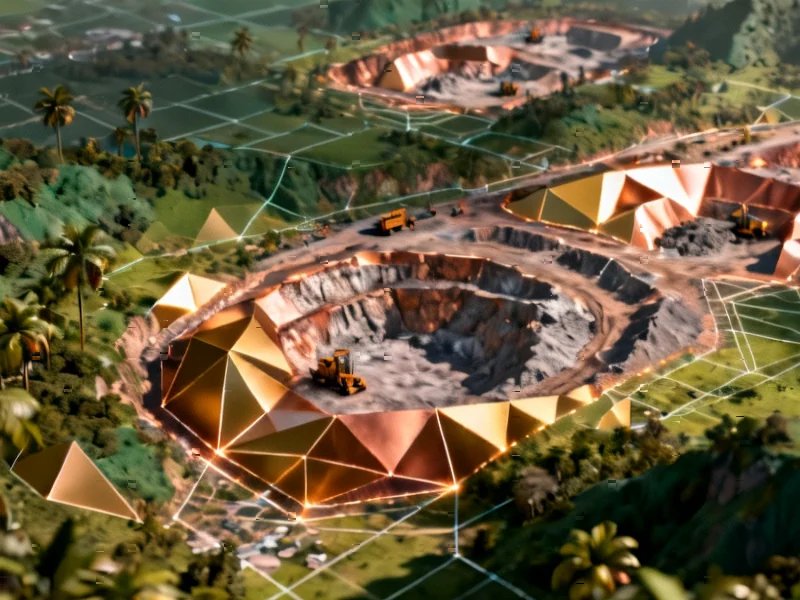
Researchers have created the most comprehensive map of tropical mining operations using machine learning and high-resolution satellite imagery. The dataset reveals mining activities covering approximately 66,400 square kilometers annually across tropical regions worldwide.

Breakthrough in Mining Monitoring

Scientists have developed a comprehensive mapping system that reveals the extensive footprint of mining operations across tropical regions worldwide, according to a new report published in Nature Sustainability. The research team utilized advanced machine learning algorithms trained on thousands of mining sites to automatically identify and map extraction areas using high-resolution satellite imagery.

ClimateScience

Climate Models Predict More Extreme and Synchronized El Niño Patterns by Mid-Century

High-resolution climate modeling indicates El Niño-Southern Oscillation patterns will undergo dramatic transformation within decades. The intensified cycles are projected to synchronize with other major climate phenomena, reshaping global weather patterns.

Climate Tipping Point Approaching for Pacific Weather Patterns

According to reports in Nature Communications, the El Niño-Southern Oscillation (ENSO) system is projected to undergo fundamental changes due to greenhouse warming. A multinational research team using advanced climate models suggests these transformations could occur within the next 30-40 years, fundamentally altering global weather patterns.